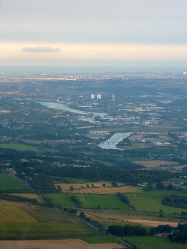
As we leave the milecastle and the change of course for the Wall, we come down to the March Burn, crossed with the aid of a dinky yet serviceable bridge. Now we have a slight climb up towards Rudchester, placed in a commanding position to look to both east and west, whilst keeping one eye to the south too. The views to the north are nothing to write home about, however, but in this the fort builders were constrained by the line of the Wall and its own particular tactical requirements.
Rudchester fort (VINDOBALA)
As we enter the field containing the fort, the first impression is of an unspoiled gem, and that is partly correct. Like Chesters and Haltonchesters, Rudchester straddles the Wall (and, of course, the Military Road here) and although the southern portion displays enough humps and bumps to delight the head of any major national heritage organization, the northern part has been under the plough for many years and is a very different story. The site is actually owned by Northumberland County Council and one senses it is their little nest-egg, put aside for the day when something exciting can be done with it.
Rudchester is 7.5 miles from Haltonchesters and is 1.8ha (4.5 acres) in size and excavation found that the fort was built over the Wall ditch. The unit which the Notitia tells us was in garrison in the 4th century, the cohors I Frisiavonum, was probably there in the 3rd century as well, but the earliest occupants are unknown.
The civil settlement to the south included another Mithraeum. There is nothing to see now of the fort other than its platform and the Trail carefully shepherds us around the western and southern sides of the fort’s defences, but in so doing rewards us with a site graphic explaining the site. Sadly, there is no plaque commemorating the fact that I once dug here in horizontal snow in a trench so narrow I could barely get my arm into it. Such are the joys of archaeology…
We depart Rudchester by a gate that dumps us onto another manic rat-run, with a blind corner just metres away to the right, so extreme caution must be exercised in crossing this road. Once safely on the other side and through the next gate, we have a gentle downhill stroll past a line a hawthorn bushes, with the Military Road raised up to our left (and the curtain wall under it), intimations of the Vallum to our left, and the outskirts of Heddon-on-the-Wall coming into view beyond the A69. About 140m after we pass a gate in the wall on our left – and with the A69 making its presence felt – we arrive at the site of Milecastle 13 (Rudchester Burn)
A short-axis milecastle, it was excavated in 1930, although its remains are now barely perceptible as a slightly raised platform. Treasure-lovers will be delighted to hear that a pot of 516 gold and silver coins was found here in the year of the American declaration of independence, although it is doubtful whether the two facts are linked. The latest coin dated to 168, thought to be a troubled time in northern Britannia. When thinking of Roman coin hoards, it is always difficult not to recall Samuel Pepys and his attempt to hoard coins when a Dutch invasion was threatened (unlike the Romans, he did not have the foresight to use a container that would not perish and so rendered recovery that bit more tricky).


